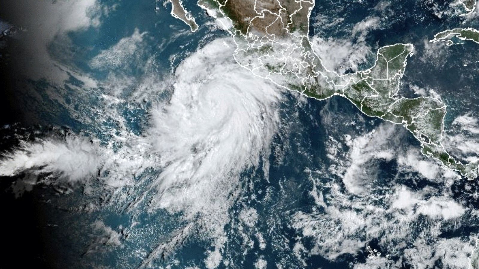
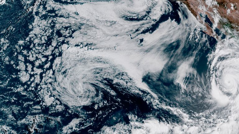
More than a year’s worth of rain, bringing with it “rare and dangerous flooding”, could fall on parts of parched Southern California and the southwest US this weekend, as Hurricane Hilary makes landfall.
Up to six inches (15 cm) of rain is expected elsewhere is the region, as the category four hurricane arrives, driven by winds of up to 145mph (230 kph).
Hilary was heading towards Baja California in Mexico, on Friday, threatening to cause “significant flooding” to parts, along with the southwestern United States, the US National Hurricane Center (NHC) said.
Southern California and neighbouring Nevada and Arizona are expected to bear the brunt of the rainfall, with “rare and dangerous flooding possible”, the agency warned on Friday.
Parts of Southern California have been placed under a level four excessive rain warning for the first time since the alert system was created. Level four is the highest ranking.
The hurricane, which was upgraded to a category four overnight into Friday, was heading west and north-westwards at around 10mph (17kph) in the afternoon, local time, but contained maximum sustained winds of nearly 145mph, the centre said.
It will still be a hurricane when it approaches Baja over the weekend, but is likely to weaken to a tropical storm before reaching Southern California on Sunday afternoon, the agency said.
Read more:
Why is California having such extreme weather?
Deadly US heatwave will expand to cover much of America as warnings issued
If so, it will be California’s first such storm since 1939.
The US National Weather Service warned people in the southwest of the country, particularly parts of Southern California and southern Nevada, to expect “significant and rare impacts” this weekend and into early next week.
The NHC issued a tropical storm watch for parts of Southern California, a first for that part of the United States.
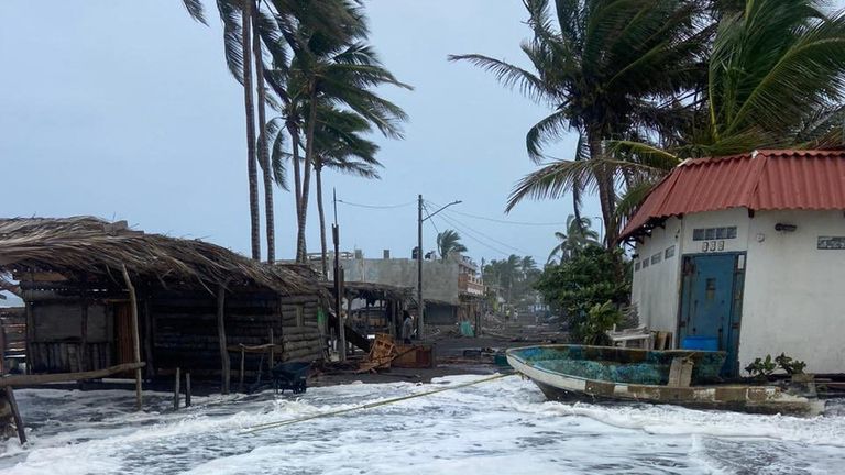
The centre warned of large waves and coastal flooding from a storm surge along the western Baja California peninsula of Mexico.
Rainfall of three to six inches (7.6cm to 15cm) is expected across areas of Southern California and southern Nevada.
The heavy rains make a stark contrast to the scorching temperatures seen across the region recently.
Phoenix saw a record heat wave last month, caused by a “heat dome” of stagnant air that parked over the western United States for weeks, the National Weather Service reported.
Tens of millions of Americans were under heat watches and warnings.
California’s Death Valley desert saw 53C (128F) in mid-July, among the highest temperatures recorded on Earth in the past 90 years.


